Get To Know Buhera And Beautiful Places To Visit
Brief History: According to Wikipedia
The name Buhera is a Nguninised, then Anglicised version of the name uHera. uHera means territory of the Hera and is reference to the fact that the Hera ethnic group of the Shona lived in the area and in neighbouring Chikomba District. The vaHera of the Museyamwa totem occupy most of the Buhera territory (under Chief Nyashanu) and much of neighbouring Chikomba (under chief Mutekedza).
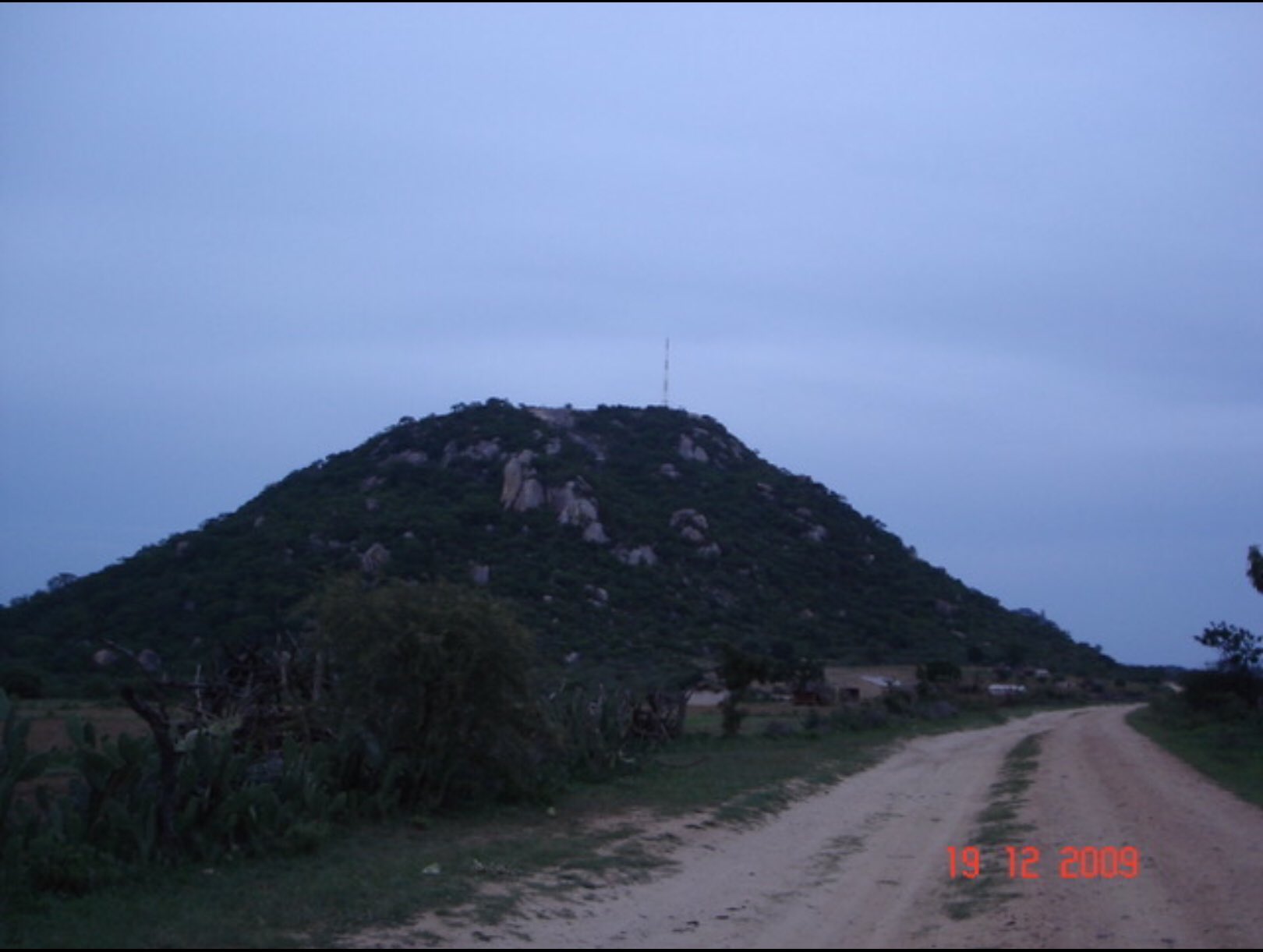
The Va Hera are of the Shona tribe and claim that they came from Guruuswa, which has been identified as an area north of the Zambezi River, perhaps around Uganda or South Sudan. Chiurwi Mountain was a major staging point for ZANLA liberation forces, during the Second Chimurenga War (1966 – 1979).
Buhera is located in Manicaland Province, in southeastern Zimbabwe. It is bordered by Chikomba District and Wedza District to the north, both in Mashonaland East Province. To the northeast lies Makoni District and Mutare District lies to the east. Chimanimani District and Chipinge District lie to the southeast. Gutu District in Masvingo Province lies to the south and west of Buhera.
Population according to Zimstats:
During the 2012 district census, the population of the district was estimated at 245,878. The majority of the district residents are subsistence farmers, through a communal land system administered by the local chiefs. There are two designated urban areas in the district, namely; Murambinda and Birchenough Bridge.
Places To Visit In Buhera
Marovanyati Dam

Save River

Matendera monument

Gombe mountain

Ruti Dam

Dzapasi Camp

Chiurwi Mountain